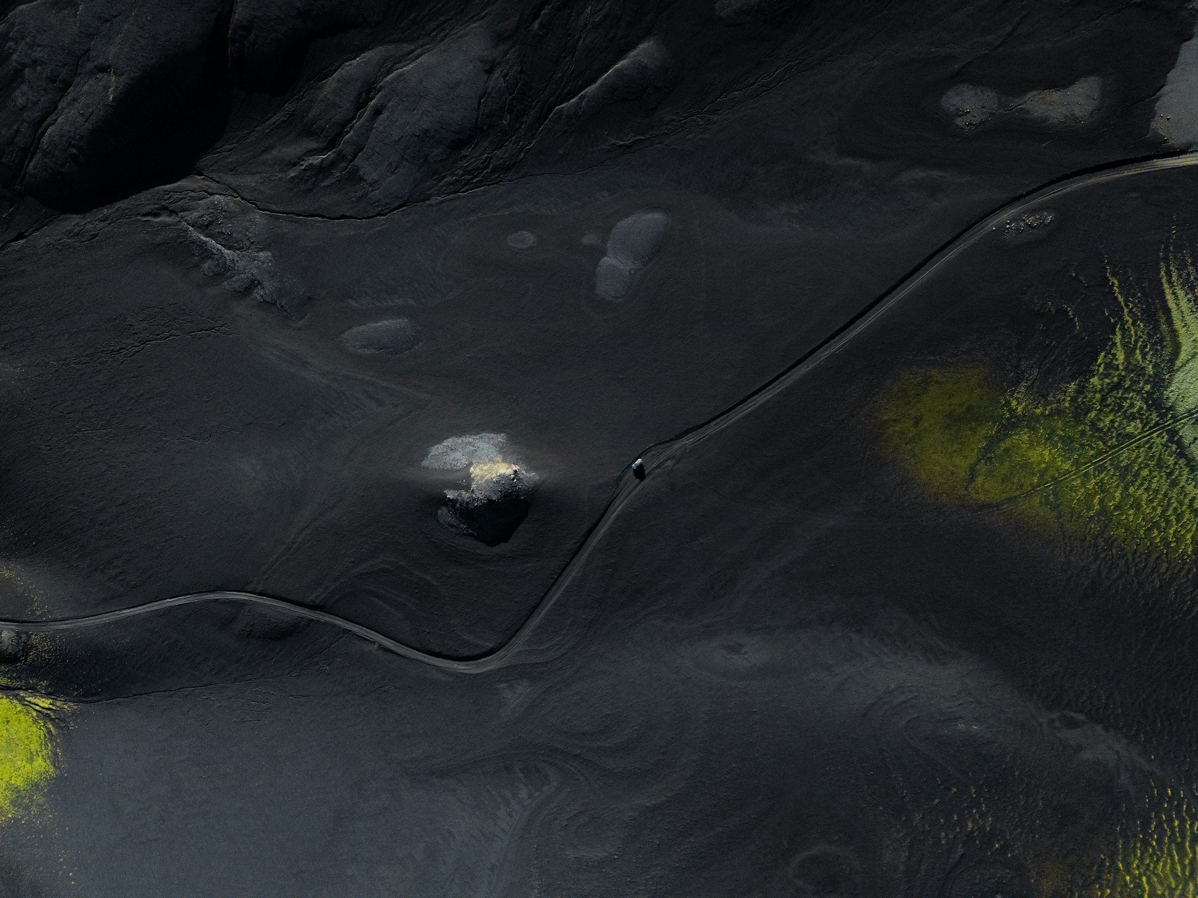
Photo: Unsplash
Regions
Eight regions, like eight different countries
Iceland looks small on the map, but there’s a day’s drive between the crowds of the South and the emptiness of the Westfjords.
- Regions
- 8
- Places
- 246
- End to end
- 1,332 km
Pick a region on the map. Hover over one to see its name and summary here; the dots are the country’s best-known places, and the full list is on the places to see page.
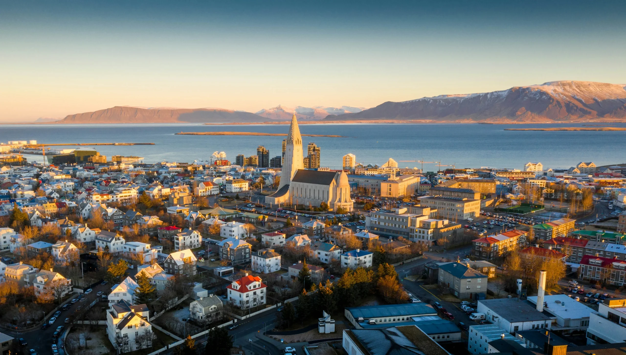
Capital Region: Reykjavík
Höfuðborgarsvæðið
The Heart of Culture, Colourful Streets and Nordic Life
2 days · 20 places
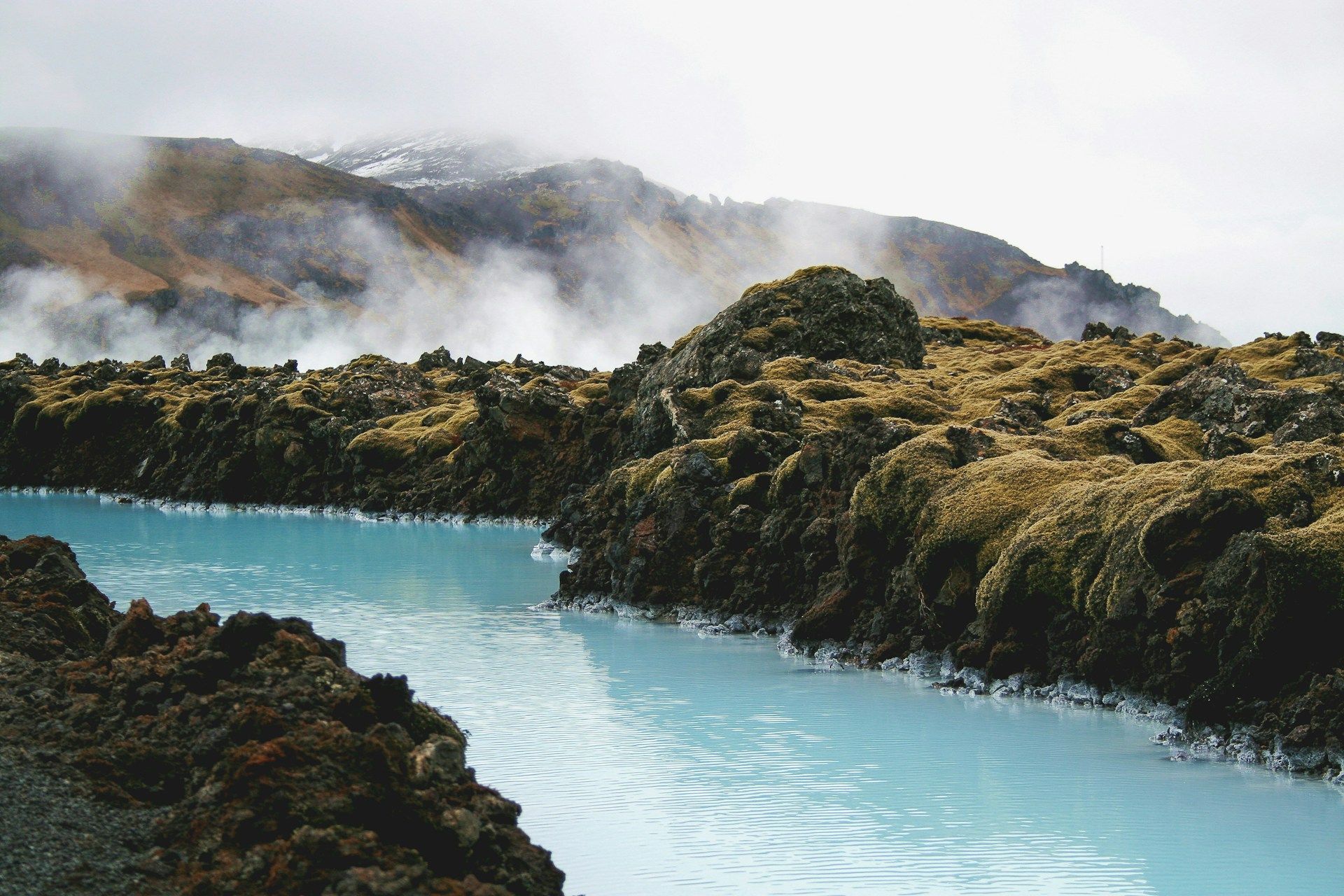
Reykjanes
Suðurnes: pronounced “SOO-thur-nes” (ð is a soft “th”)
Reykjanes Peninsula: Volcanoes, Lava Fields and First Impressions
1 day · 14 places
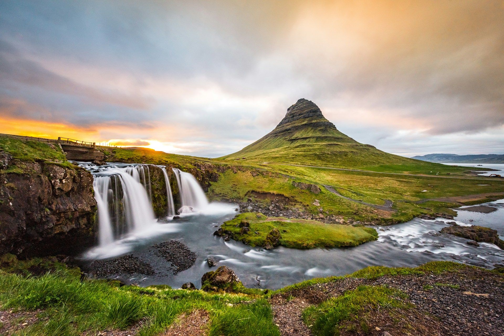
West Region
Vesturland
Snæfellsnes: a little Iceland in a single day.
2 days · 35 places

Westfjords
Vestfirðir / Westfjords
Where fewer than 10% of visitors go. A hidden paradise of wild nature, steep passes and silence.
3 days · 16 places

Northwest
Norðurland vestra
The region everyone drives through and nobody stops in.
1 day · 12 places
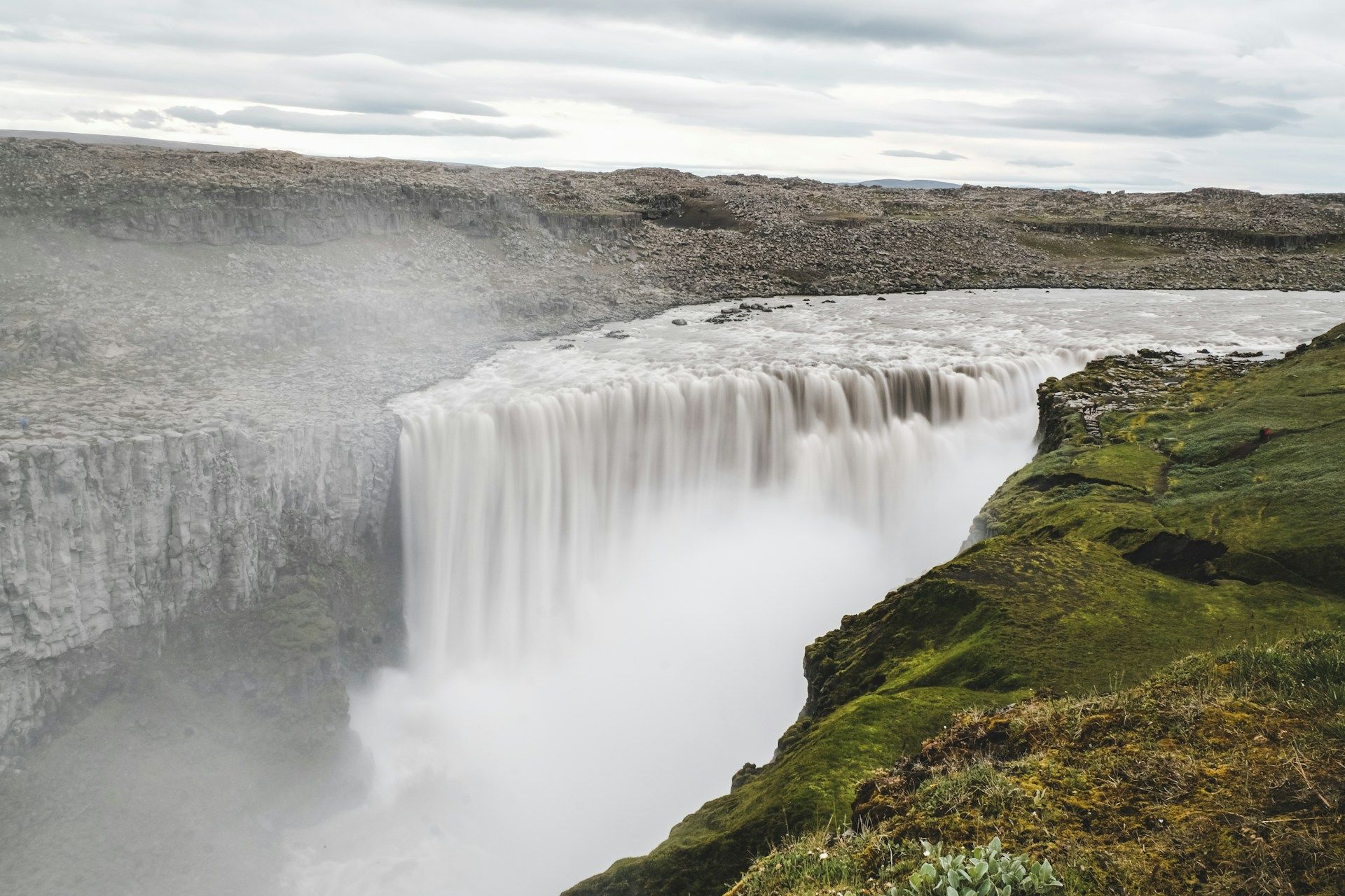
Northeast
Norðurland eystra
Akureyri, Mývatn and Europe’s most powerful waterfall.
3 days · 39 places
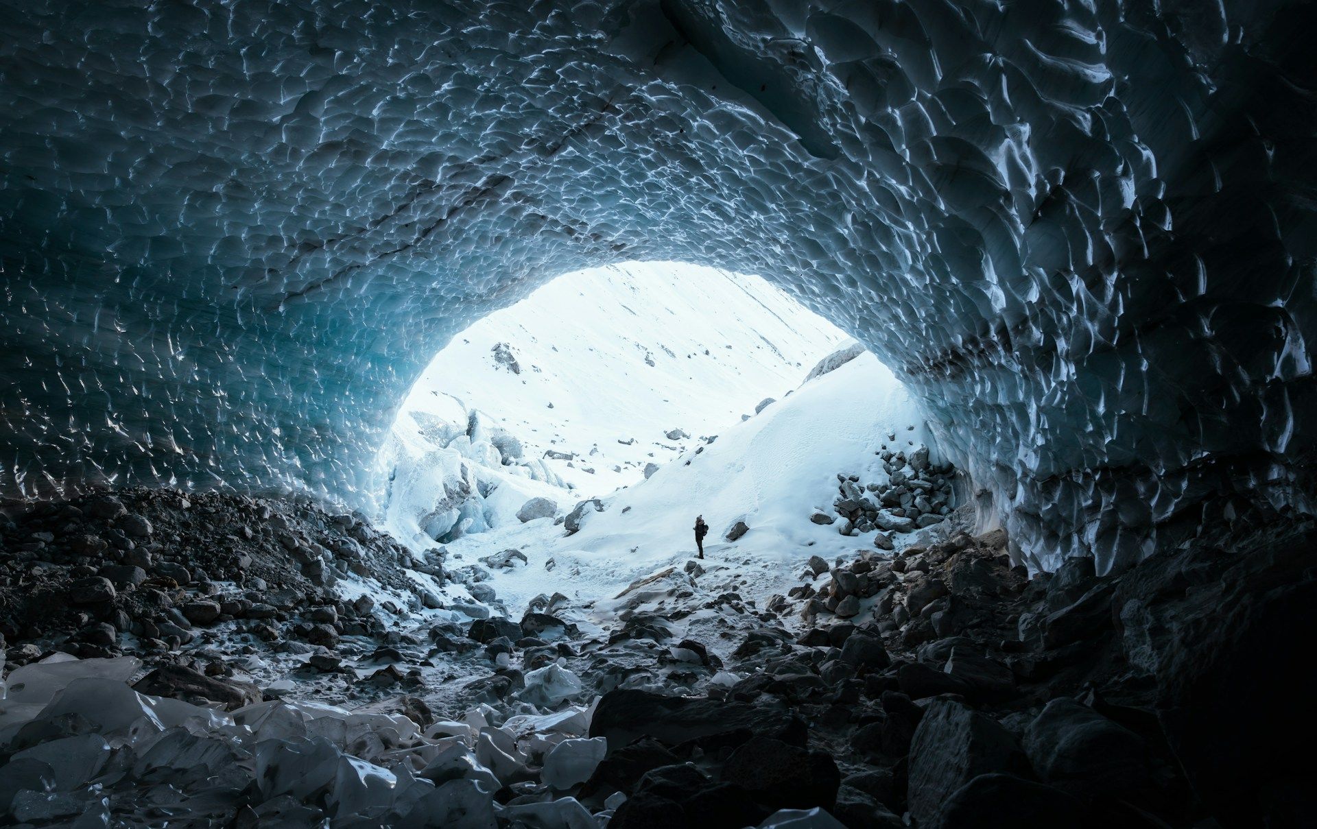
East Iceland
Austurland
The Land of Fjords, Reindeer, Glacier Lagoons and Calm
3 days · 34 places

South Iceland
Suðurland
With its unique waterfalls, jet-black beaches and blue glaciers, South Iceland brings the island’s most iconic scenery together along a single fairy-tale line
4 days · 76 places